Update June 2019: read about the new GPX features here.
Two posts previous I showed off some quick mapping I threw together of all the gravel roads in Weld county. I had hoped to expand the map into other counties, but certain counties (coughLarmimercough) are a little stingy with their road data.
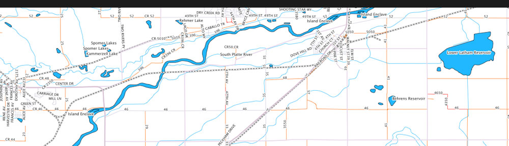
Then when poking around I discovered that the Colorado DOT distributes road data for all the counties. And they have statewide datasets too. I was worried the statewide datasets would be restricted in detail or something, but no, it’s the full dataset of all the roads in Colorado! Jackpot! Plus they had a layer of all of the Forest Service roads too.
So I grabbed the data, and after some massaging, hammering, and swearing, got it all working. Then with some help from two of my favorite things right now – GeoServer and OpenShift – I had the data ready to serve to my application. I also needed a good base map, so I built something relatively muted and uncluttered using Cloudmade’s Web Map Studio. The end result is:
Colorado Gravel
Big Fat Disclaimer:
1) Use at your own risk. I am only displaying CDOT’s data and I cannot warrant that it is accurate or current. They don’t warrant it as such either.
2) There are errors. I’ve spotted a couple of sections marked as gravel that are paved. I’ve also seen some driveways marked as roads. I will try to fix anything I find in my copy, but again, don’t depend on this map.
3) Because this data comes from multiple jurisdictions, it overlaps in places. This is most obvious in the Rockies, where you have versions of the same roads from the DOT and the Forest Service. I have no idea whose version is better. I’d also like to clean these out.
4) Again, this data may not be accurate and should not be used as your sole source when planning a route. Check against USGS topo maps, the Colorado Atlas & Gazetteer, Google Earth. If you’re putting together an Epic Loop, maybe drive it first just to make sure everything connects.
One more thing – running this and Iowa Gravel Roads does incur some expenses for servers and bandwidth. If you find them useful and would like to buy me a virtual beer, here’s a donation button:


Thank you for your endeavors on our behalf (all of us who love riding dirt
S:)
Can’t tell you how much I appreciate your effort on this. Exactly what I was looking for. More then what I was looking for to be honest. I’m going to share this with everyone.
Beer money sent.
Is there a way others can help contribute or update? I would be happy to help with roads around Longmont, Mead, etc.
Right now there’s not any easy way for people to do updates. I’ve got some ideas on how to make the process easier but it’s going to take substantial work.
if needed, i am happy to mark up a map and send as PDF, but no need if it won’t help. Thanks so doing this.
Is there supposed to be a map layer underneath the road data to help orient the user? Right now, I just see a gray rectangle of CO and all of the orange roads, but nothing else. It is very difficult to figure out what roads I am looking at without any landmarks. I am wondering if there is something amiss with the map. If I deselect “Gravel” in the layers menu, I can’t see anything on the map. Thanks!
Yup, looks like the base maps are broken. I’ll fix it later today. Thanks for letting me know!
Just a heads up that the download link doesn’t seem to be working. Tried on both Safari and Chrome. In fairness I’m on an iPad, haven’t tried on desktop yet (error messages are different on Chrome and Safari …)
Thanks for letting me know. I don’t have an iPad, but it works on OS X Safari and Chrome as well as Chromium on Linux. The only thing I can think of is that route isn’t “finished”. You have to click a second time on your last point. The line will go from a lighter blue with the boxes to a sold dark blue. Does the download icon look grayed-out compared to other buttons?